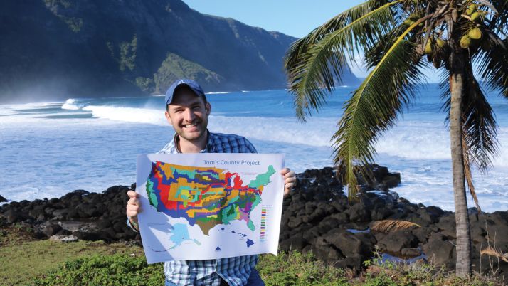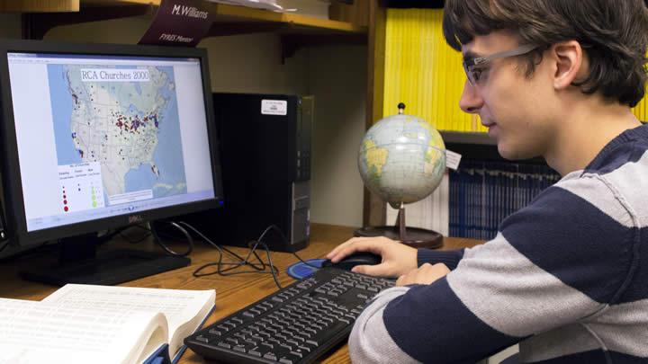
Over 10 weeks last summer, junior Matt Raybaud took databases of information from other researchers, U.S. Census records, Dutch provincial records and ship manifests and converted them into maps. The resulting 500 maps are a contribution to emeritus professor Henk Aay’s atlas project, The Atlas of Dutch American History and Culture.
His maps show counties of origin, numbers of immigrants and their destinations, demographics, occupation, location of churches and more.
“Most of this data is data from the 1980s [when researcher Robert Swierenga collected it]. It had been gathering dust, and no one was really using it,” Aay said. “By updating it into readable form for today’s software, we could make much more use of it, and now we are likely going to post all these databases for everyone to use in the future.”
Aay also said that beyond its usefulness for the atlas project, the data Raybaud converted will pay dividends for other researchers.
“I think what we’ve done here is not only prepared maps for the atlas and for other publications; it has made these databases retain their usefulness in perpetuity.”
Read the original article at Calvin News & Stories